CADDEX Civil 3D Course
Learn Civil Infrastructure Design, Surveying & Grading with Autodesk Civil 3D
- Certified Trainers with Civil Engineering & Surveying Background
- 100% Practical Training using Autodesk Civil 3D
- Modules: Surfaces, Alignments, Profiles, Grading, Corridors, Pipe Networks
- Live Projects: Road Design, Site Layout, Drainage, Earthwork
- Certification + Placement Assistance
What You Will Learn
- Civil 3D Interface & Workspace Setup
- Surface Creation from Survey Data & Contours
- Alignment Design, Profiles & Vertical Curves
- Grading Tools for Site Development
- Corridor Modeling: Assemblies & Targets
- Pipe Networks: Storm & Sanitary Design
- Quantity Takeoff, Section Views & Sheet Generation
Course Details
| Feature | Details |
|---|
| Course Duration | 6 Weeks (Regular) / 4 Weeks (Fast Track) |
| Mode | Online Live & Classroom |
| Eligibility | Civil Engineers, Surveyors, Draftsmen |
| Language | English & Hindi |
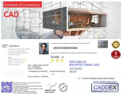
| Certification | Caddex-Certified Civil 3D Certificate |
Who Should Enroll?
- Civil & Transportation Engineers
- Surveying Professionals & Draftsmen
- Infrastructure Designers & Consultants
- Students Seeking Civil Design Software Skills
Why Choose CADDEX?
- Experienced Faculty with Infrastructure Project Experience
- Live Projects Based on Real Site Plans
- Flexible Batches: Weekday / Weekend / Fast Track
- Placement Support & Resume Assistance
Student Testimonials
“The Civil 3D course helped me understand road design and corridor modeling practically. Now I work in a highway design firm.??
— Rakesh Verma, Highway Engineer
“I used Civil 3D for grading and stormwater layout after this course. The trainer explained alignments and profiles very well.??
— Meena Sharma, Civil Intern
FAQs
- Q: Do I need AutoCAD knowledge?
A: Yes, basic AutoCAD 2D knowledge is recommended.
- Q: Will I work on real survey & design data?
A: Yes, the course includes real-world site projects.
- Q: Will I get a certificate?
A: Yes, a CADDEX Civil 3D Certificate is awarded.

