How CAD is Revolutionizing Indian Infrastructure Projects
India is undergoing a massive transformation in infrastructure with smart cities, metro systems, expressways, airports, and high-speed rail corridors reshaping the nation’s landscape. At the heart of this transformation is Computer-Aided Design (CAD), which has become a foundational technology for planning, designing, and executing complex infrastructure projects with unmatched efficiency and precision.
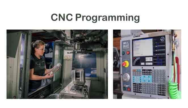
At CADDEX India, we train future-ready civil engineers, architects, and designers in the latest CAD tools used in real-world infrastructure development.
Key Ways CAD is Transforming Infrastructure in India
1. Precision in Planning and Design
- CAD enables detailed 2D and 3D layouts for roads, bridges, railways, and utilities.
- Topographic data, site contours, and geospatial layers can be integrated into designs.
- Tools like AutoCAD Civil 3D and InfraWorks aid in terrain modeling and corridor design.
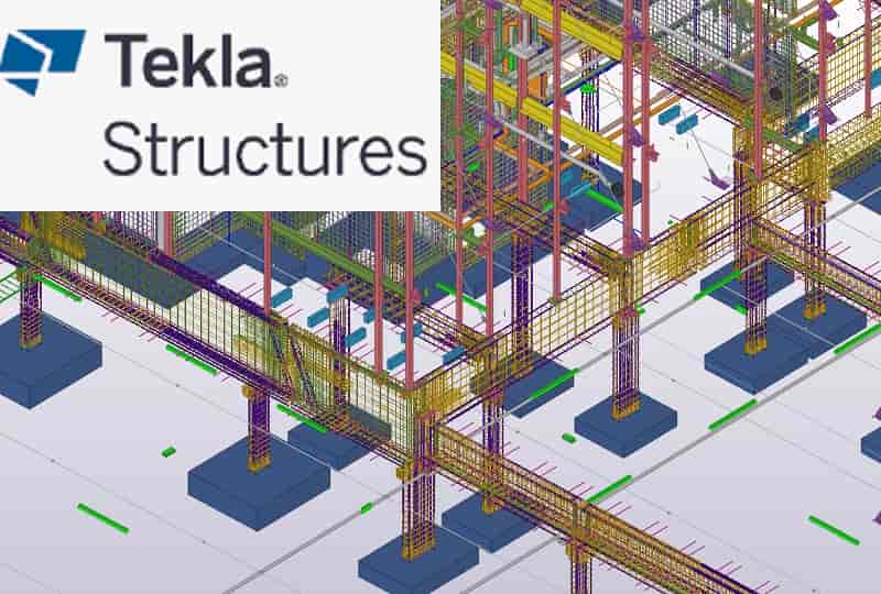
2. BIM Integration and Digital Collaboration
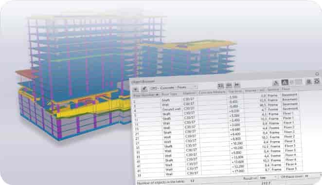
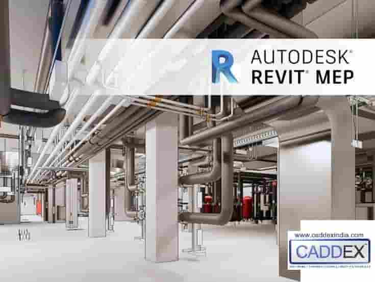
- Building Information Modeling (BIM) tools like Revit and Navisworks are used for 3D modeling, clash detection, and construction sequencing.
- Multi-disciplinary teams (civil, structural, MEP) collaborate on a unified digital model, reducing errors and delays.
- Government projects are increasingly mandating BIM for public infrastructure tenders.
3. Faster Project Execution
- CAD automation speeds up drafting, revisions, and documentation workflows.
- Standardized templates and libraries improve consistency across large-scale projects.
- Real-time design changes reduce rework and accelerate decision-making.
4. Cost and Material Optimization
- Quantity takeoffs and BOQs can be generated directly from CAD/BIM models.
- Accurate estimation of materials reduces waste and controls project costs.
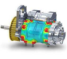
- Simulation tools help evaluate structural performance before construction.
5. Lifecycle Management and Maintenance
- CAD and BIM models serve as digital twins for facility management post-construction.
- Data-rich models support operations, maintenance schedules, and retrofitting.
Real-World Examples of CAD in Indian Infrastructure
- Noida International Airport: Used 5D-BIM for design, cost, and time integration.
- Delhi Metro & Mumbai Metro: Leveraged CAD for tunnel alignment and MEP planning.
- Ganga Expressway & Bharatmala Projects: Used Civil 3D and GIS integration for road planning.
- Smart Cities Mission: Adopted CAD/BIM tools for urban planning, drainage, and utilities.
Essential CAD Tools for Infrastructure Professionals
- AutoCAD Civil 3D: Road design, grading, and earthwork modeling
- Revit Structure & MEP: BIM modeling for bridges, stations, and buildings
- Navisworks: Clash detection and 4D construction simulation
- STAAD.Pro: Structural analysis and design of infrastructure components
- InfraWorks: Conceptual design and visualization of city-scale projects
Why Learn Infrastructure CAD at CADDEX India?
- Certified training in AutoCAD, Civil 3D, Revit, STAAD.Pro, and Navisworks
- Project-based learning with real infrastructure case studies
- 100% placement assistance with EPCs, consultants, and government contractors
- Mentorship from industry professionals and BIM experts
FAQs – CAD in Infrastructure Projects
Q: Is BIM mandatory in Indian infrastructure projects?
A: Increasingly, yes. Major public projects and smart cities now require BIM workflows for efficiency and compliance.
Q: Which CAD software is best for civil infrastructure?
A: AutoCAD Civil 3D for road and terrain, Revit for BIM modeling, and STAAD.Pro for structural analysis.
Q: Can I work on infrastructure projects after CAD training?
A: Yes. CADDEX India’s infrastructure-focused CAD courses prepare you for roles in design, drafting, and BIM coordination.
Be Part of India’s Infrastructure Revolution
Join CADDEX India and gain the CAD skills that power India’s infrastructure growth. Learn from experts, work on real projects, and become job-ready for the civil and construction industry.
Enroll Now