Role of CAD in Smart Cities and Urban Planning
As India accelerates its Smart Cities Mission and urban development initiatives, the demand for digital tools in planning and infrastructure design has never been higher. Computer-Aided Design (CAD) plays a pivotal role in shaping the cities of the future—enabling architects, engineers, and planners to visualize, design, and manage urban environments with precision and efficiency.
At CADDEX India, we train professionals and students in CAD and BIM tools that are transforming how modern cities are built and maintained.
How CAD Supports Smart City Development
1. Urban Planning and Zoning
- AutoCAD and Civil 3D help urban planners draft zoning maps, plot layouts, and land use plans.
- CAD models support compliance with regulatory frameworks and planning norms.
- GIS-based CAD integration enables data-driven decision-making for land development.
2. Infrastructure Design
- CAD tools are used to plan roads, bridges, drainage systems, and utilities with accuracy.
- Civil 3D enables corridor modeling, grading, and topographic analysis for infrastructure projects.
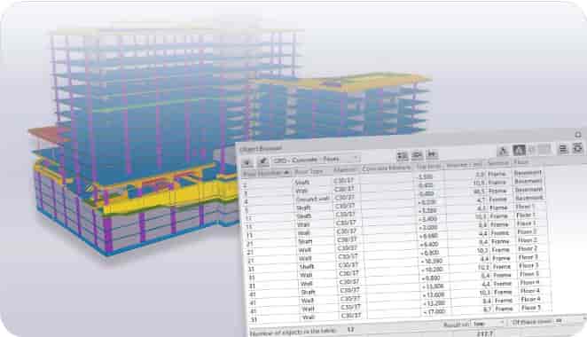
- Revit BIM is used for designing smart buildings, metro stations, and public facilities.
3. Transportation and Mobility
- CAD software helps design smart traffic systems, pedestrian pathways, and public transport networks.
- Simulation tools enable analysis of traffic flow and environmental impact.
- Digital layouts support integration of electric vehicle (EV) infrastructure and smart parking.
4. Sustainability and Green Design
- CAD and BIM support energy-efficient building design and solar panel placement.
- Green building concepts can be simulated and validated using Revit and Navisworks.
- Rainwater harvesting, waste management, and environmental zoning are planned through CAD workflows.
5. Smart Utilities and MEP Coordination
- Revit MEP and AutoCAD Electrical are used to plan water, power, and telecommunication grids.
- Clash detection and model coordination reduce rework and improve service delivery.
- Data-rich models serve as digital twins for ongoing facility management and monitoring.
Key CAD Tools Used in Urban Planning
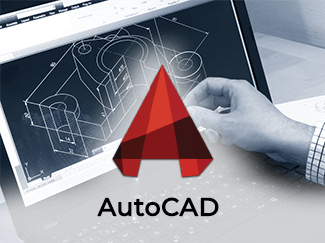
- AutoCAD: 2D layout planning, zoning maps, and utility drawings
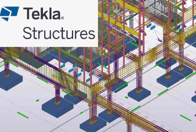
- Civil 3D: Road design, grading, and civil infrastructure modeling
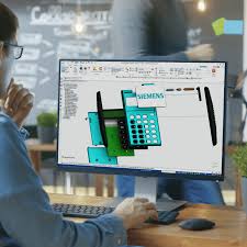
- Revit (Architecture, Structure, MEP): Smart buildings and BIM integration
- Navisworks: Clash detection and construction simulation
- InfraWorks: Conceptual city-scale modeling and visualization
- ArcGIS + CAD: GIS-based urban data analysis and planning
Benefits of Using CAD in Smart Cities
- Improves design accuracy and consistency across large-scale projects
- Enables collaborative design among architects, engineers, and planners
- Reduces project delays and cost overruns through simulation and clash detection
- Supports data-driven urban decision-making and asset management
- Facilitates integration of sustainability and smart infrastructure goals
Why Learn Urban CAD at CADDEX India?
- Certified training in AutoCAD, Civil 3D, Revit, and InfraWorks
- Live projects in city planning, infrastructure, and smart utility systems
- 100% placement assistance with urban design firms and government contractors
- Trainers with experience in BIM and urban development projects
FAQs – CAD in Urban Planning
Q: Can CAD be used for planning entire cities?
A: Yes. Tools like AutoCAD, Civil 3D, and InfraWorks allow planners to design and simulate entire urban regions.
Q: Is BIM mandatory in smart city projects?
A: Increasingly yes, especially for public infrastructure and government-funded developments.
Q: Do I need to know GIS to use CAD for urban planning?
A: Basic GIS knowledge is helpful, but CAD tools like Civil 3D support GIS data integration for planning tasks.
Shape the Future of Cities with CADDEX India
Join CADDEX India and learn how to use CAD tools to build smarter, safer, and more sustainable cities. Get certified, work on live urban planning projects, and launch your career in smart infrastructure design.
Apply Now